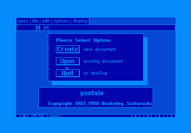

geoCalc!
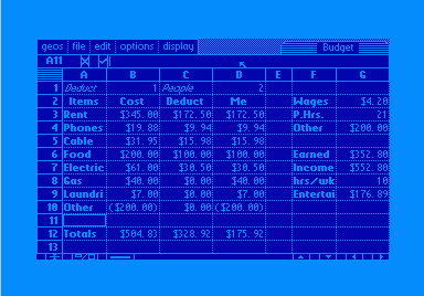
Anyone who has used a text based spreadsheet knows what a chore it is to
navigate the cells, make the cells fit your text or values, or remember all the control
keys necessary to utilize its features. geoCalc has none of these problems. Cells rows and
columns are easily resizable, the features are all available off of pull-down menus, and
navigation is as easy as point-and-click.
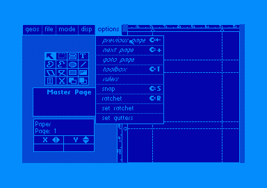
GEOS is probably best known for it's ability to really
produce in the area of desktop publishing. Numerous newsletters and magazine are, to this
day, produced in GEOS thanks in large part to geoPublish. Designing pages, cutting and
pasting clipart and resizable articles are all a cinch with this amazing application.
Numerous layouts come ready with the application to fit most printer resolutions. A handy
toolbox is always available in whatever design mode you are operating in.
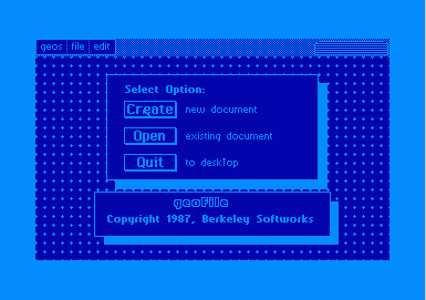
geoFile!
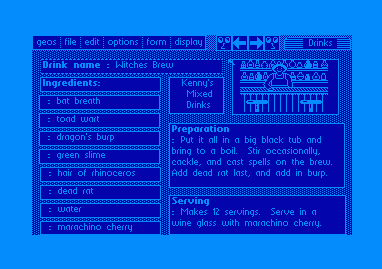
geoFile is a database application for those who believe style and substance
should go hand in hand. Form design is as simple as drawing boxes on your design form and
designating the type of data to be accepted therein. Handy search features are included to
make your data as accessible as possible, and the ability to paste in graphics adds a
little pizzaz to droll data-entry tasks.
geoChart!
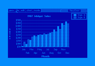
According to the manual, geoChart is an excellent program. I can't say either
way, however, as I have not had an easy time getting it to work the way I want to. The
results possible seem impressive, but that's only rumor.